What’s the end goal? To have a map in Strava? Get the elevation? I don’t understand. I can’t imagine after every workout that somebody wants to download a TCX file, merge it with some kind of map, and then upload that merged thing to Strava.
You could run a workout out of Biketerra or Rouvy?
Dave
That was the original idea I had. I even had a guy create map art for me. We had maps but as I mentioned, it caused too many people to be confused.
In my opinion it is a question of aesthetics, we all know that the eyes are the first of the senses to eat and influence our decisions.
There will be another presentation on Strava soon, it draws people’s attention and curiosity to go and see where it is, and in a way this is a great way to bring publicity to Trainerday.
As for people making a lot of confusion, because the distance doesn’t match up or the altitude, anyway. In my opinion, anyone who wants to activate this option is enough to have to accept an agreement.
Where it is explained that this is virtual, it is for aesthetic purposes, you have to agree that all data is virtual and has nothing real,
At the end you have to put a little arrow saying that you understand and agree to activate. For me it solves and simplifies things. This being active makes logic because almost all software does it.
1 Like
The problem is most people don’t read, and then they’re just confused or they forget by the time they execute it. You have to make things obvious without requiring any reading or at least attempt to. Or make the reading like one or two words. Or just absolute minimal. And at the right time. It doesn’t matter if you let someone know, they’re still frustrated if they don’t remember or didn’t read it clear enough.
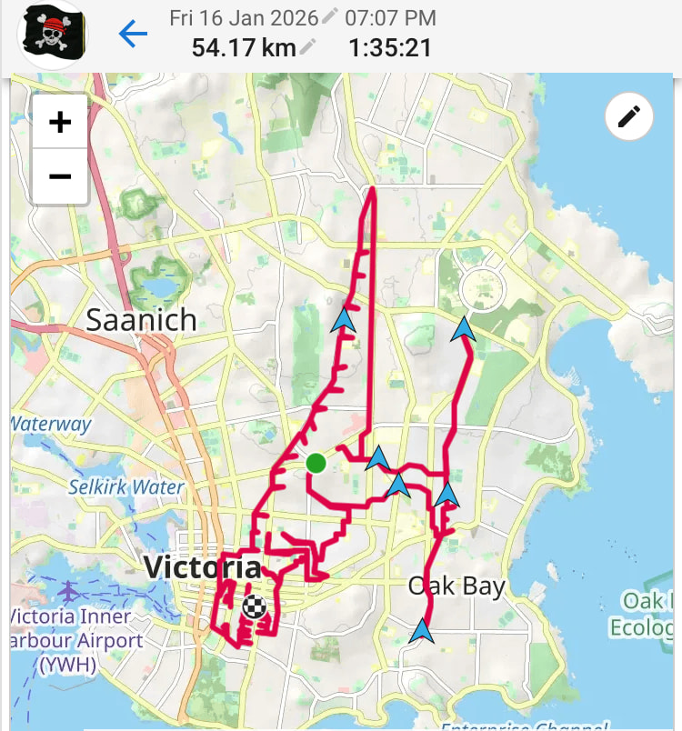
But I like these maps also.
Another situation, in Portuguese the page is translated (Código Postal)

zip code, but it’s definitely not correct lol
That’s beautiful ![]() Postal Code…
Postal Code…